
 One of the fun activities when somewhere unfamiliar, is getting lost. That way we often discover new places and insights into local life. Here in Bahrain this is easily achieved as frequently our map is out of date or has insufficient detail. Land is being reclaimed at such a rapid rate we’ve been told that getting an apartment by the sea is no guarentee it will still be by the sea in 18 months time.
Roads here, even new ones and unsurprisingly there are lots of those, don’t follow any sort of Roman grid pattern but simply wind towards their destination. Walking or driving around Juffair where we live, it becomes equally apparent that the roads come after the building and we are sure that there are apartment blocks close by without any access by tarmaced road! To add to the confusion mostly roads are numbered rather than named but locals will provide you with the original name for a road when asked for directions.
There was a recent complaint in one of the local newspapers that numbering streets and replacing exisiting names was confusing for the locals as well as losing the history of area. Well it’s not just the locals who are confused. Our address as provided by the landlord has no street number or block (think UK postcode) mentioned, not even the building name! By the front door of most flats are two numbers – one is the actual address and the other is used by the utility company to identify the apartment as a place with a supply of electricity and water!
On Friday we were heading for Qal`at al-Bahrain (Fort Bahrain), clearly marked on both our maps as being on the coast in the village of Karbabad. Fort and village were signposted off the highway so that bit was easy but a couple of kilometres further on it became apparent we were heading west-ish just inland of the coast towards Budaiya through Jannusan & Barbar Not that any of these places had signs welcoming visitors it was other landmarks mentioned in our tourist guide that gave it away. We had missed our target which was now behind us somewhere.
The village streets were narrow, no pavements with cars & 4x4s parked where they stopped making interesting driving. Buildings & front steps jut into the street making odd angles to negotiate. Being Friday morning everywhere was closed and the few men about stopped what ever they were doing to stare at us with interest as we picked our way through in our dusty hire car. Road humps are a feature of more built up areas and serve their purpose of reducign speed well. Ssometimes marked with fading yellow paint at their extremities, most often its only as you jolt over them that they make their presence known. Once well and truely lost the only thing to do is turn around and retrace your steps unless of course you don’t mind where you end up!
Eventually we found a small sign that said something like “Fort and Garden”. At the end of this road we joined a coach party and a few other cars at an entrance to the site. We knew we had arrived because there was a small white & blue guard hut which seem to be common near any site of importance here. The guard was not at all bothered that we’d arrived the “back way” but cheerfully waved us through and we strolled along a broad paved path that wove its way up and across the barren sandy soil surrounding the site. Having wandered round the fort (for photos click here) inside and out and spied the white rectanglular museum building lower down on the waters edge we found ourselves at a different exit entirely. This one was a far cry from the tatty steel frame and wire netting affair we’d entered by. Two smart stone gatehouses stood either side of hefty wooden gates, firmly locked. Being Brits we did the done thing and stepped onto the low wall to one side, over the wooden palings and down into the road, it hardly broke our stride. There we saw large notices declaring this to be a World Heritage site.
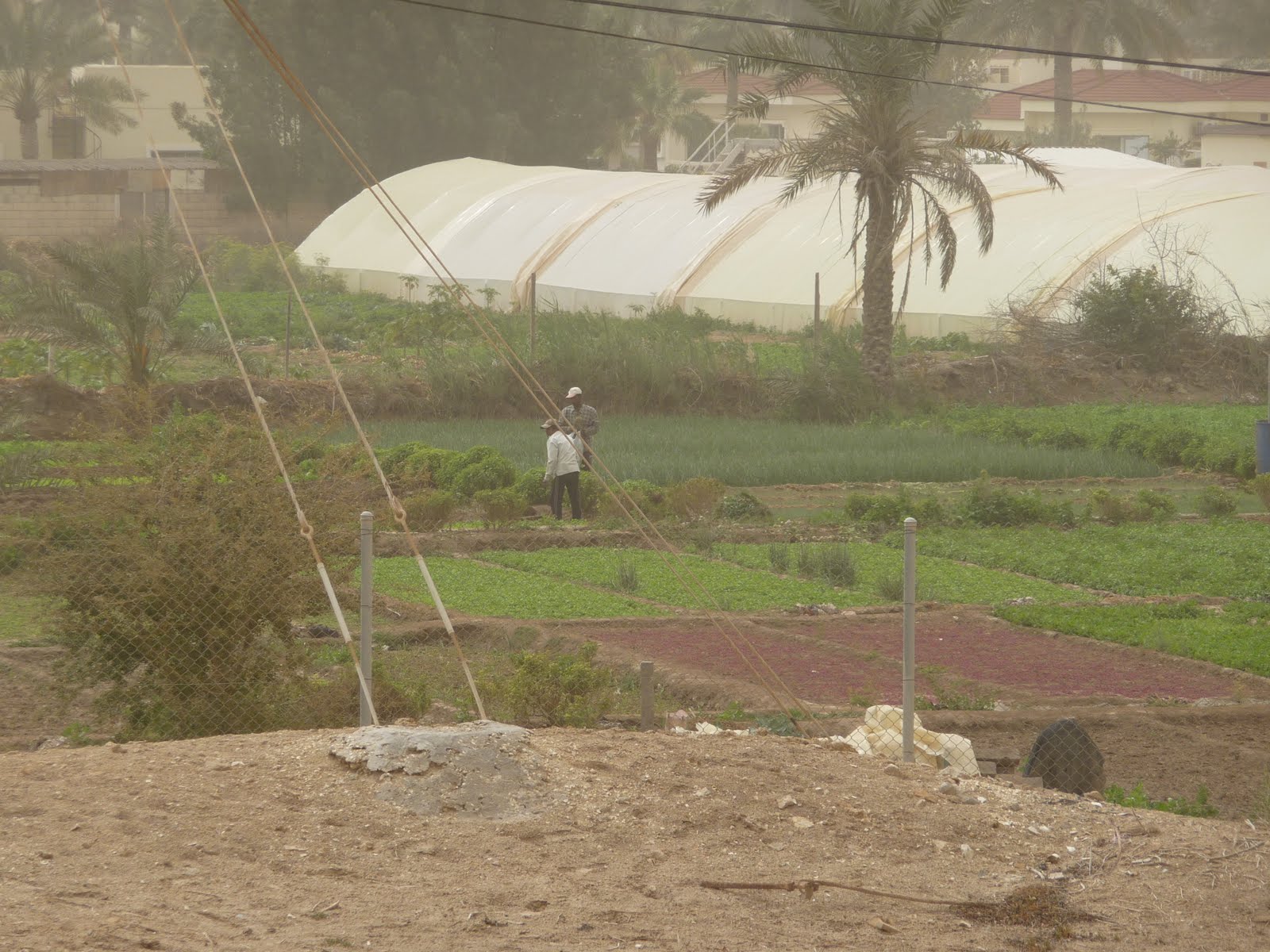
Walking back to the car via the village street past painted houses we meet a young girl of about 5 in her blue floral pyjamas! All the houses here have faded murals decorating their exterior walls. On the other side of the street to the fort & the houses lay small “fields” with their edges raised to keep the water in, all were green with vegetables. In the shade of the house walls grew various trees and shrubs with their roots being irrigated by the air conditioning unit drains! We could hear a cock crowing – it seemed very rural after the building sites and high rises of Manama, Al Seef & Juffair just to the east.
We fancied a coffee so our next task was to find the museum which we managed with relative ease. We highly recommend the museum, its modern minimalist exterior is reflected in the cool, spacious interior and by the exhibits. It provided a clear insight into the layers of history we had just walked over and around. Fifty years of archaeological excavations have only touched a quarter of the site but what has been found is fascinating. Two or three great periods of occupation over several thousand years (Dilmun, Tylos & the Portuguese amongst others) with blanks in between where no collaborating evidence from other sources can provide any detail on what happened.
It’s an amazing story of occupation, invasion, reuse and even a great fire. One civilisation buried the dead under their floors, another buried snakes in jars there. All had in common that they were traders as well as manufacturing their own wares as evidenced by the differing ceramics and coins found here. The traders at one time used clay tablets to record their transactions. If they were temporary, like a modern till receipt, they were later discarded unfired. Its from these and the archives of fired tablets that much of the trading history has been put together.
This was the major port on the island until it silted up in modern times. The site is effectively a large mound created by multiple layers of people building on top of their predecessors’ homes and fortifications. Sometimes they reused building materials, at others they created afresh. The French & Bahraini archaeologists who have patiently unpicked this tapestry must be congratulated on what they have achieved. They have had the vision to preserve areas untouched so that future generations with improved tools can provide more accurate insights into the people who have lived here as there are many mysteries still to unravel.
Afterwards the coffee shop was a civilised oasis, its patio providing lovely views and cool sea breezes. As we left and headed back to the city, easy to find as we could head for the skyscrapers glimpsed through the dust-fog, we realised that with the building of the museum the entrance route was now from Al Seef and well sign posted all the way!
