
With the current El Nino one of the strongest on record and reckoned to last well into 2016 we have begun to take more than a passing interest in the potential impact on weather patterns in the Pacific next year. What about the west going current? What wind strengths can we expect? What about typhoons/cyclones/hurricanes? And out of all that what would be our best route across?
I (Susie) was more than a little disturbed to read a post on one cruising forum advising yachties not to make the crossing next year and wait until the following one. For us that is not really an option, we’d have instead to sail up the Caribbean and back to the UK via the Azores as our precious funds are unlikely to stretch to an extra 12 months voyaging without another lengthy work stop.
I am not going to reproduce all of the various articles I’ve read here. Suffice to say that we are to misquote Fagin “watching the situation” but it is interesting that a weather phenomenon El Nino, the Pacific is a vast region that is difficult to comprehend especially from our European centric maps. Our initial passage from Panama in the East to the Marquesas (the easternmost islands of French Polynesia) will be almost 4000nm in length, more than twice as far as our Trans-Atlantic in 2014.

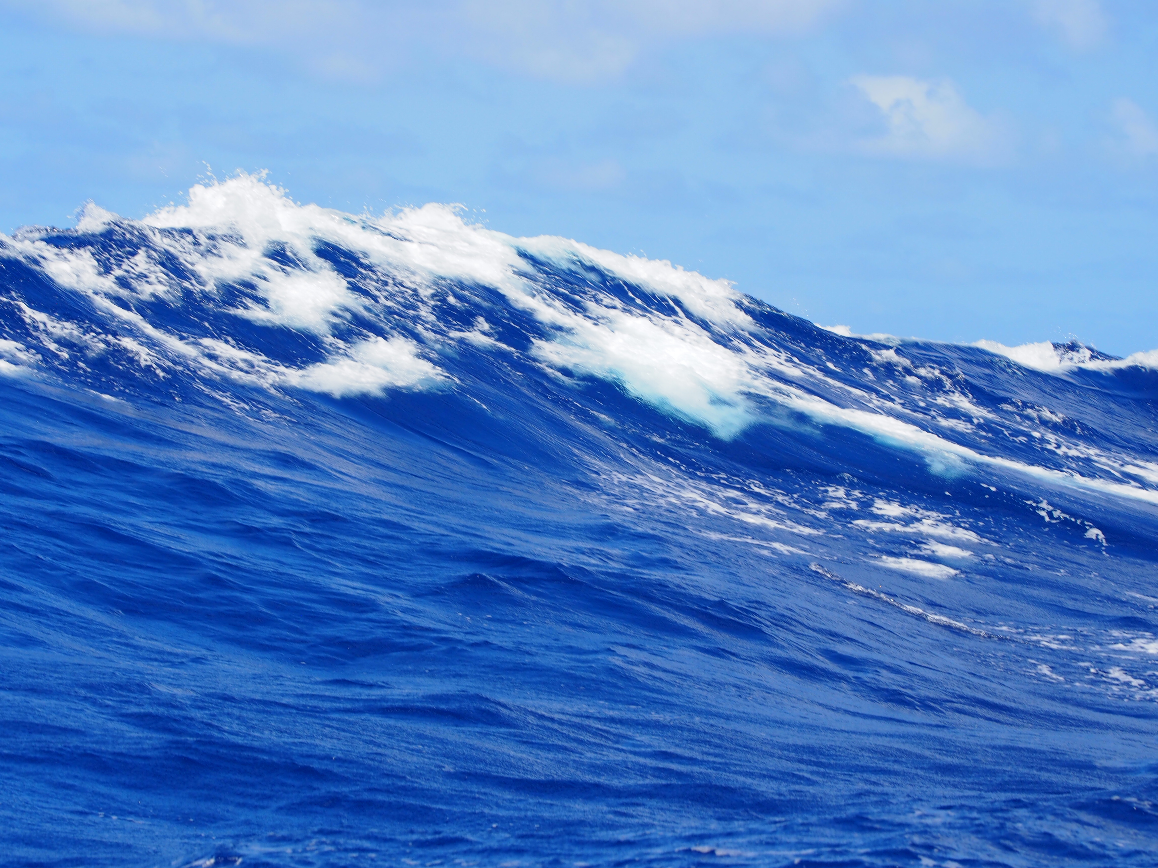
In El Nino years strong westerly winds in the western Pacific drive warmer waters back eastwards reinforcing the warming ocean temperatures in the west by several degrees. Comparing the Pacific ocean temperature for October 20 2014 with that for October 19 this year is quite incredible (http://www.ospo.noaa.gov/Products/ocean/sst/anomaly/) – in the latter a wide band of warmer seas reaches almost completely across to Micronesia whereas last year, a normal year in El Nino terms, it was much more broken and a large area of colder seas were located in across our passage area to the south. The changes in ocean temperature during a strong El Nino (eg 97-98) have been shown to have a huge impact on the Pacific Equatorial Counter Current making it wider and further reaching (https://bobtisdale.wordpress.com/2009/02/16/equatorial-currents-before-during-and-after-the-199798-el-nino/) . However examining the impact on the months of February and March in the following year (1998) the stronger east going current seems to shrink in width leaving thankfully a mostly west going current. A current of even a knot can have a big impact on a vessel planning a voyage at six or seven knots – a 15 percent increase or decrease in the time at sea which for a 4000nm passage can mean four or more extra days at sea.
The westerly winds impact the weather too – drought in the Western Pacific (see my previous post) and torrential rain and flooding such as recently seen in California on the eastern side. Back in 1997-98 the warmer waters impacted fish stocks, devastating the S American fishing industry and caused coral reefs across the Pacific to die. And the usual easterly trades that would drive Temptress across to the Marquesas are weakened meaning a slower passage.
The warmer oceans can cause tropical cyclones to occur further east than normal, occasionally as far east as the Marquesas. The RCC Pilotage Foundation’s “The Pacific Crossing Guide” recommends delaying arrival in Polynesia until late May or June in moderate El Nino years and possibly even spending a season in Central America in strong El Nino years, leaving a Pacific crossing until the following year as it is rare that a second El Nino will occur in close succession. Not exactly the sort of advice we wanted to hear so as I stated earlier we will watch the situation.
Historically French Polynesia and especially the Marquesas on their eastern boundary were fairly storm free until the strongest El Nino on record that of 1982-83 when two tropical storms and five hurricanes hit the area between December and late April with the last of them Hurricane William, reaching as far east as the Tuamotus Islands and Gambier. As sailors we don’t want even to experience a tropical storm at anchor or at sea let alone a hurricane or the outer fringes of one. However the strongest El Nino on record 1997-8 resulted in only one tropical storm hitting Polynesia. So in mitigation it has to be said that the causes and impact of El Nino are not well understood (http://kxan.com/blog/2015/08/25/will-this-el-nino-be-one-for-the-record-books-one-forecasters-view/) and local weather systems may also override its impact so despite the prediction from NOAA that this years event has an 85% chance of lasting into early next year it is only that – a prediction from models which are as yet far from complete in their understanding of what the causes and contributors to an extreme or strong El Nino are.
Ref:
- Martin Rutt’s post on the World Cruising Club Forum that got me thinking about all this.
- A good summary of the impact so far and NOAA’s predictions for the months to come.
- An assessment of the frequency of cyclones across the Pacific Islands.
- Tropical cyclone terms depend in part on where in the world you are but here is how they are categorised in terms of wind speed:
- Tropical Storm – wind speeds of between 34 and 64 knts
- Hurricane/Typhoon/Cyclone – sustained winds 66knts or higher
For more info see Wikipedia article
- Temptress once withstood a hurricane back in 2002 admittedly in a marina but it was a horrifying experience and if you get yourself a cup of coffee you can read about it here
